ENWRA Recharge
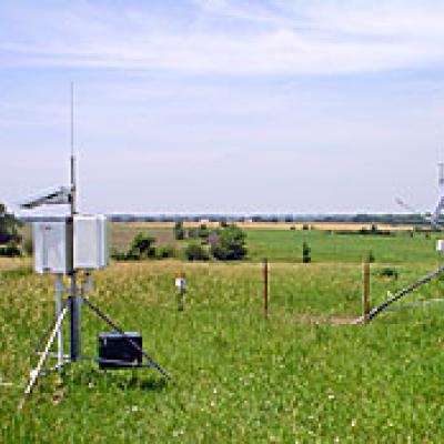
ENWRA vadose zone equipment and weather stations
Click here for a link to download ENWRA's recharge station locations and associated 2008 to current compiled weather station datasets and graphs (65 MB).
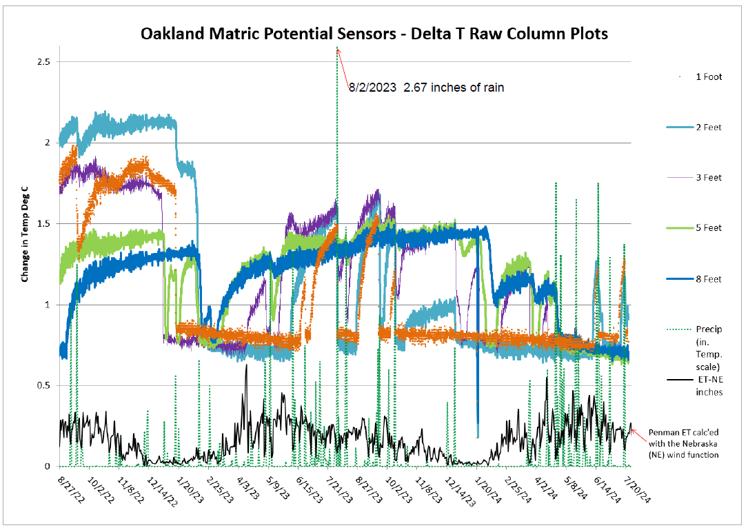
ENWRA uses heat-dissipation sensors, soil moisture probes, and weather stations (air and soil temperature, precipitation, humidity, wind speed, solar radiation, and potential evapotranspiration) to continuously collect data regarding groundwater recharge at each of the pilot study sites. This information contributes to understanding the volume of precipitation recharging the underlying aquifer at a specific site, how fast that recharge occurs, and the importance of vertical and horizontal flow paths.
These two 2013 and 2014 articles summarize recharge study data collected at ENWRA's recharge sites:
ENWRA Recharge and Focus Area Assessments
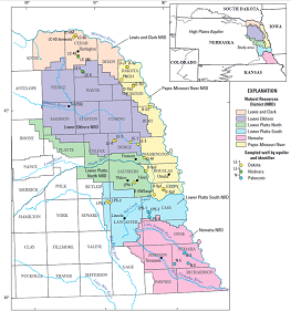
The Eastern Nebraska Water Resources Assessment (ENWRA) entered a joint funding agreement with the U.S. Geological Survey (USGS) and a cooperative agreement with the University of Nebraska-Lincoln Conservation and Survey (UNL CSD) for the ENWRA Recharge Water Sustainability Fund (WSF) Grant award contract #5312 to conduct recharge assessment, a three phase project for Eastern Nebraska. The USGS used technical expertise and supercomputing systems to run recharge map scenarios with the top 50 feet of airborne electromagnetic (AEM) survey data using the appropriate supporting quality data inputs and constraints. The UNL CSD team built an online portal here to demonstrate the hydrogeological relationships for the Phase 2 Focus Areas across District boundaries with subsurface cross-sectional profiles and bedrock, water level and saturated thickness contours.
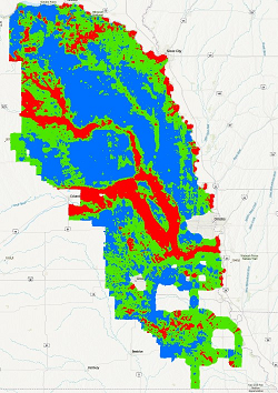
The ENWRA HML map is available as an ESRI ArcPro layer package and results for the Focus Areas are available online here as an interactive web portal with shapefiles, detailed Map Notes documentation and links to the GeoScene3D Projects at the top of the map page:
East Knox ![]() Burt Dodge Fremont Arlington Leshara
Burt Dodge Fremont Arlington Leshara ![]()
Dorchester Sterling Paleochannel ![]()
The USGS will finalize the report publication with a link anticipated to be available on the USGS publication warehouse and this page later in 2025.
ENWRA Secondary Bedrock Aquifer Sampling And Age-Dating
 Secondary Bedrock Aquifer Sampling And Age-Dating Project (WSF #4125). The following USGS online publication was approved for release and has been made available to the public: USGS Scientific Investigations Report 2021–5055 Suggested citation: Hobza, C.M., and Flynn, A.T., 2021, Groundwater quality and age of secondary bedrock aquifers in the glaciated portion of eastern Nebraska, 2016–18: U.S. Geological Survey Scientific Investigations Report 2021–5055, 42 p. This publication is available online only (https://doi.org/10.3133/sir20215055).
Click here for a link to a presentation of the results from December 9, 2020. An additional talk was presented at the March 2, 2021 NRD Water Programs Conference.