Lower Platte South NRD 2018 AEM Survey
Documents
Links
Datasets
Google Earth Datasets:
The interpreted results for the 2018 AEM flights have been provided in Google Earth format. You can download the free version of Google Earth Pro by clicking here.
*Click here for a link to download the Google Earth datasets from ENWRA's Dropbox.
The link above provides ".kmz" files that will show the 2018 AEM flight lines (as flown) and where data was chopped out from interferences (retained) as well as ".kmz" files that show attributed data dots in Google Earth you can click on. The attributed ".kmz" files with data dots are provided in 10 parts (4 recon line sets broken up for faster viewing and 6 separate block areas). There are 486 associated image files (347 MB) linked to the data dots.
You can select "no thanks" to the sign-up for a Dropbox account and still download the files (download button hard to spot). You must have Google Earth installed on your computer before downloading or opening the .kmz Google Earth dataset files. If you already have a Dropbox account, please choose download so you do not fill up space on your personal Dropbox.
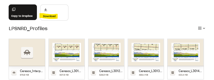
Please follow the instructions in the "GoogleE_README.pdf" PDF file on Dropbox here AND save the downloaded files with the same exact file structure as shown on the Dropbox onto your computer's C drive. Google Earth will look here on your hard drive: C:\LPSNRD_Profiles\ for every profile image when you touch a link on a data dot - see example image below. An easy way is to download and unzip the Dropbox files wherever your browser typically puts downloaded files (right click and hit extract). Once the folder has been unzipped then cut, copy or drag the unzipped file folder called "LPSNRD_Profiles" directly onto your C drive. Note if you have the 2016 AEM profiles already on your computer you will need to keep that and insert the contents into that existing folder (can't have 2 folders with the same name directly on your C drive).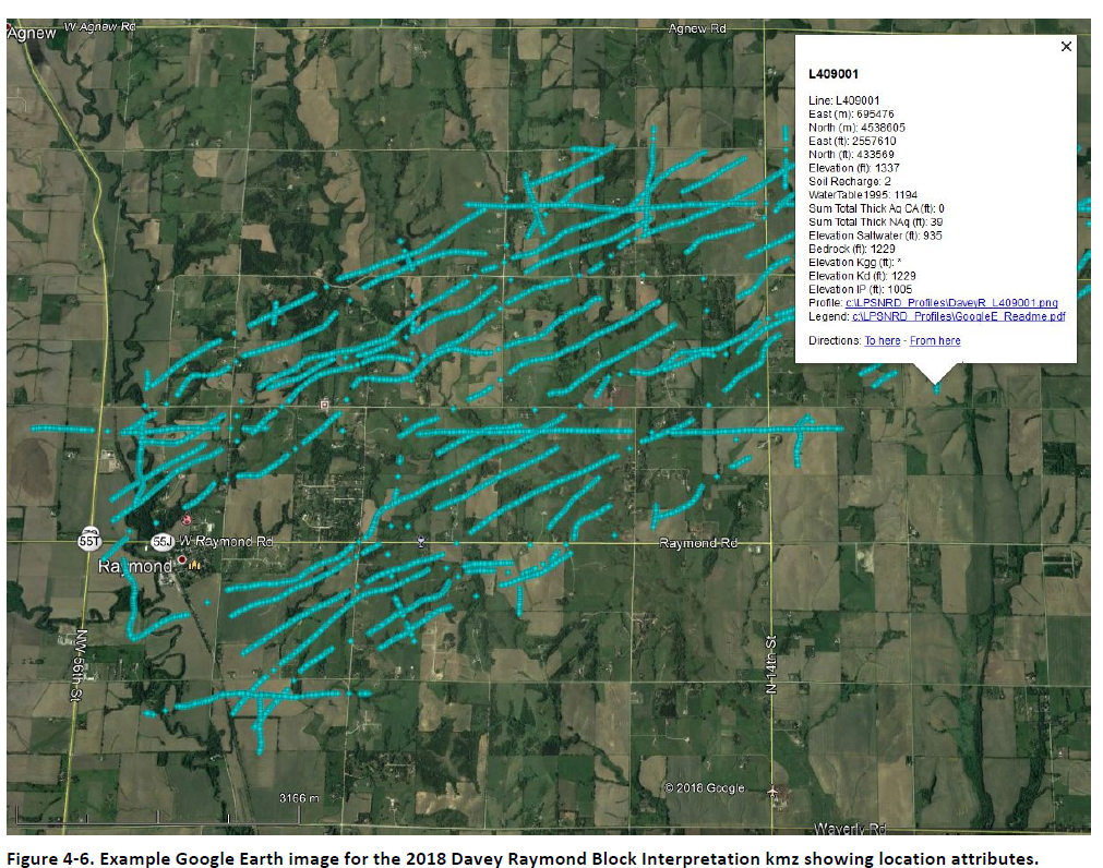
NOTE: You can view flight lines from some mobile devices if you have Google Earth but you need to use a computer to see the data and hot linked profile images. Warning these Google Earth files, if downloaded, may use up a large portion of your mobile data.