Lewis and Clark NRD 2018 AEM Survey
Documents
Datasets
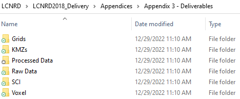
Appendix 3 - Data folders:
Google Earth Datasets:
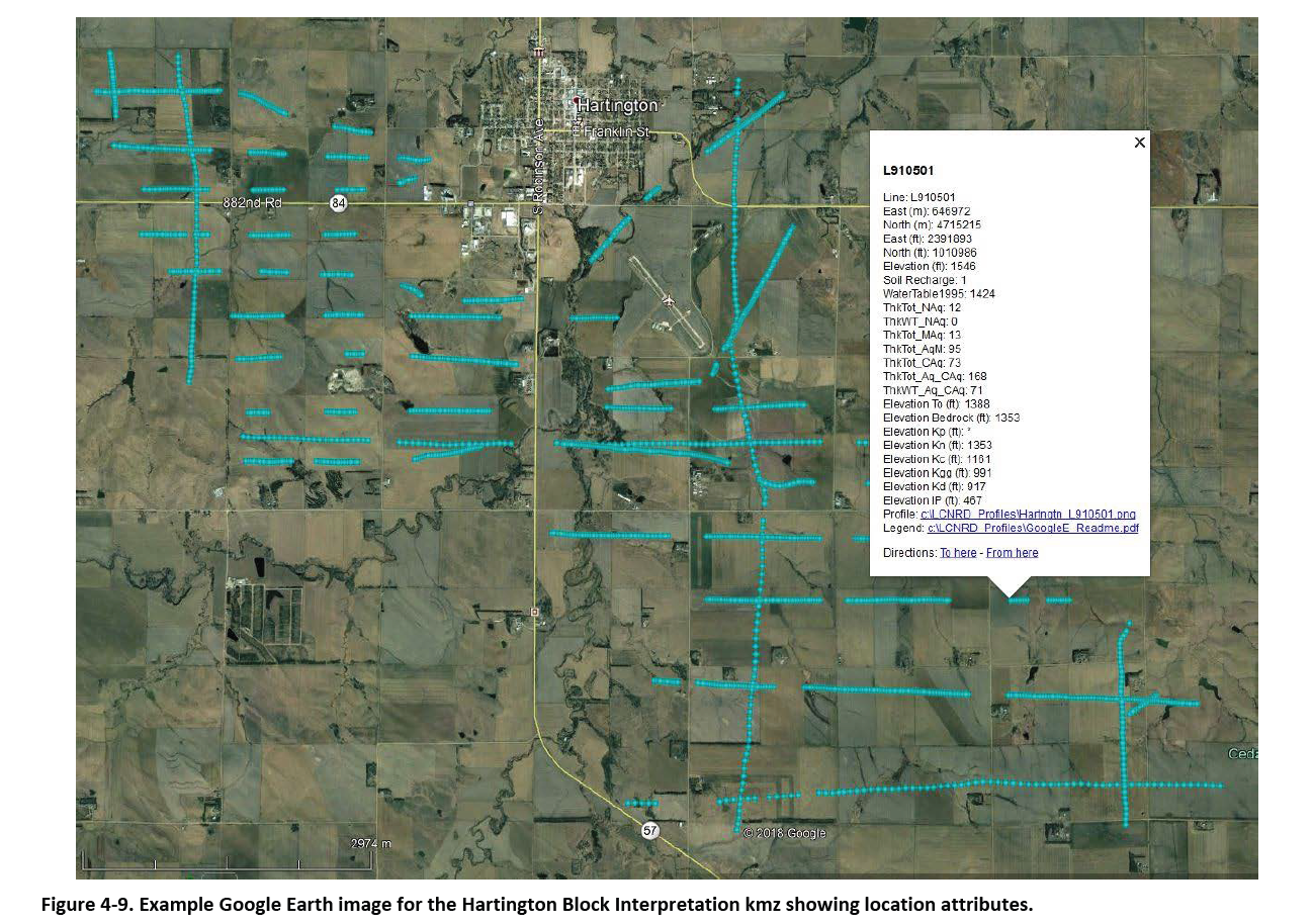
The interpreted results for the 2018 AEM flights have been provided in Google Earth format. You can download the free version of Google Earth Pro by clicking here.
*Click here for a link to download the Google Earth datasets from ENWRA's Dropbox.
The link above provides ".kmz" files that will show the 2018 AEM flight lines "as flown" and where data was chopped out from interferences as well as ".kmz" files that show attributed data dots in Google Earth you can click on. The attributed ".kmz" files are provided in 3 parts (broken up for faster viewing) for the 3-mile grid reconnaissance lines. There are 153 associated image files (138 MB) linked to the recon line data dots, plus 9 separate focus area ".kmz" files for the tighter spaced lines with 187 associated image files (112 MB).
You do not need to signup or sign in to Dropbox to download the files (ENWRA Dropbox download page example shown below). You must have Google Earth installed on your computer before downloading or opening the ".kmz" Google Earth dataset files. If you already have a Dropbox account and are logged in online, please logout or choose a different browser on your computer so you do not fill up space on your personal Dropbox.
Please follow the instructions in the "GoogleE_README.pdf" PDF file on Dropbox here AND save the downloaded files with the same exact file structure as shown on the Dropbox onto your computer's C drive. Google Earth will look here on your hard drive: C:\LCNRD_Profiles\ for every profile image when you touch a link on a data dot - see example image below. An easy way to do this: hit the download button, navigate to wherever your browser typically puts downloaded files and then right click and extract the .zip file (LCNRD_Profiles.zip) directly onto your C drive. This will result in the Google Earth ".kmz" data dots linking directly to the corresponding profile image files on your C drive in the new “LCNRD_Profiles” file folder.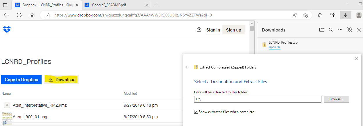
NOTE: You can view flight lines from some mobile devices if you have Google Earth but you need to use a computer to see the data and hot linked profile images. Warning these Google Earth files, if downloaded, may use up to 0.5 GB of your mobile data.