Cass County 2020 AEM Survey
Documents
pdf
Cass County Methodology Report (15 MB)
/sites/default/files/2024-05/Cass%20AEM%20Geophysical%20Methodology%20v1.pdf
Links
Datasets
Name: CassCounty_2020_AEM_SCI_INV
Description: AGF reconnaissance survey in Cass Co., 62 line-miles - AGF, J. Abraham, Aarhus Workbench v. 6.3.1.0
Type: SkyTEM 304M Resistivity-depth, spatially constrained inversion (SCI)
EPSG: NAD 83 State Plane meters 32104 & feet 26852
Google Earth KMZ: 2020 and 2022 AEM Survey Flight Path Lines for Cass County. Click the image below to go to the Profile Folder:
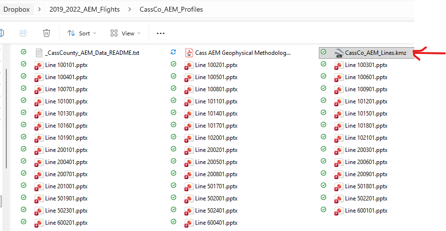
Click here for a ReadMe file describing the data views.